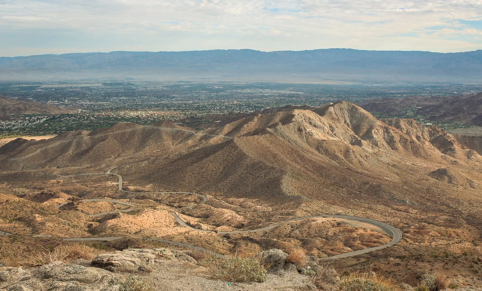
The Palms to Pines Scenic Byway is a drive on Highway 74 and Highway 243 that takes you from the palms of Palm Desert up to the pines around Idyllwild, then down to Banning. The USDA Forest Service describes it as a 67-mile route from Palm Desert to Banning Pass. It is one of the best scenic drives in the Coachella Valley, and it starts a short hop from Terra Luz, The Cozy Cactus, and The Sundune.
Maps and some sources also write it as the Pines to Palms Highway, same road, opposite direction of travel. This guide covers the drive and its stops. For trails, permits, and lunch once you reach the top, the Idyllwild day trip guide has you covered.
| Route | Highway 74 from Palm Desert to Mountain Center, then Highway 243 through Idyllwild to Banning and I-10 |
|---|---|
| Length | 67 miles per the USDA Forest Service |
| How long to plan | Half a day or more with stops, longer if you hike or eat in Idyllwild |
| High point on Highway 74 | Keen Camp Summit, 4,917 feet |
| Fuel | Fill up in Palm Desert; the next gas is at Mountain Center and Idyllwild |
| Winter | Check Caltrans QuickMap for chain controls before you leave |
Where the Palms to Pines Scenic Byway Starts
The official starting point is the Santa Rosa and San Jacinto Mountains National Monument Visitor Center at 51-500 Highway 74, about four miles south of Highway 111 in Palm Desert. Inside you will find maps, interpretive displays, restrooms, a water fountain, and air conditioning, which is more than the next stretch of road offers. Hours have changed in recent years, so check the BLM page before you plan around it.
Two short walks leave from the building: the 0.2-mile Ed Hastey Garden Trail (leashed dogs allowed) and the Randall Henderson Trail, a 2.5-mile loop you can shorten to 1.75 or 1 mile. Dogs are not allowed on Randall Henderson.
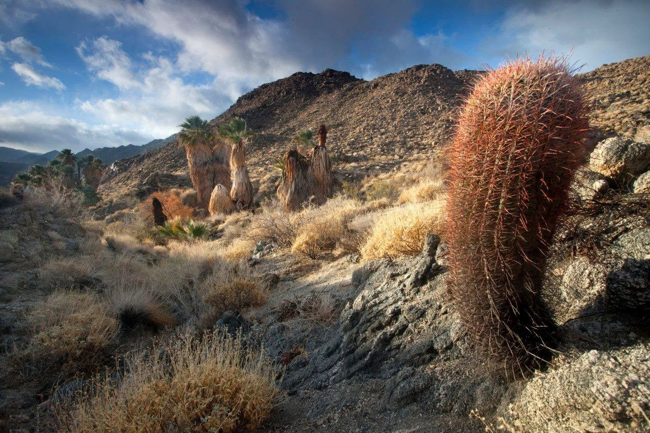
Barrel cactus and California fan palms in the national monument, the "palms" end of the byway. Photo: Bob Wick, BLM / Wikimedia Commons, public domain.
Highway 74 Switchbacks and Vista Points
Just past the visitor center the highway starts climbing in tight switchbacks cut into the Santa Rosa Mountains. The first big pullout is the Coachella Valley Vista Point, with plenty of parking and the valley laid out below you. Farther up the vegetation changes and short pinyon pines start to appear.
The Cahuilla Tewanet Vista Point has a smaller lot, interpretive signs about native plants, animals, and the Cahuilla bands, and a wide view south toward the Santa Rosas. Pullouts are mostly on the right side of the road, so pick your stop early and signal well ahead.
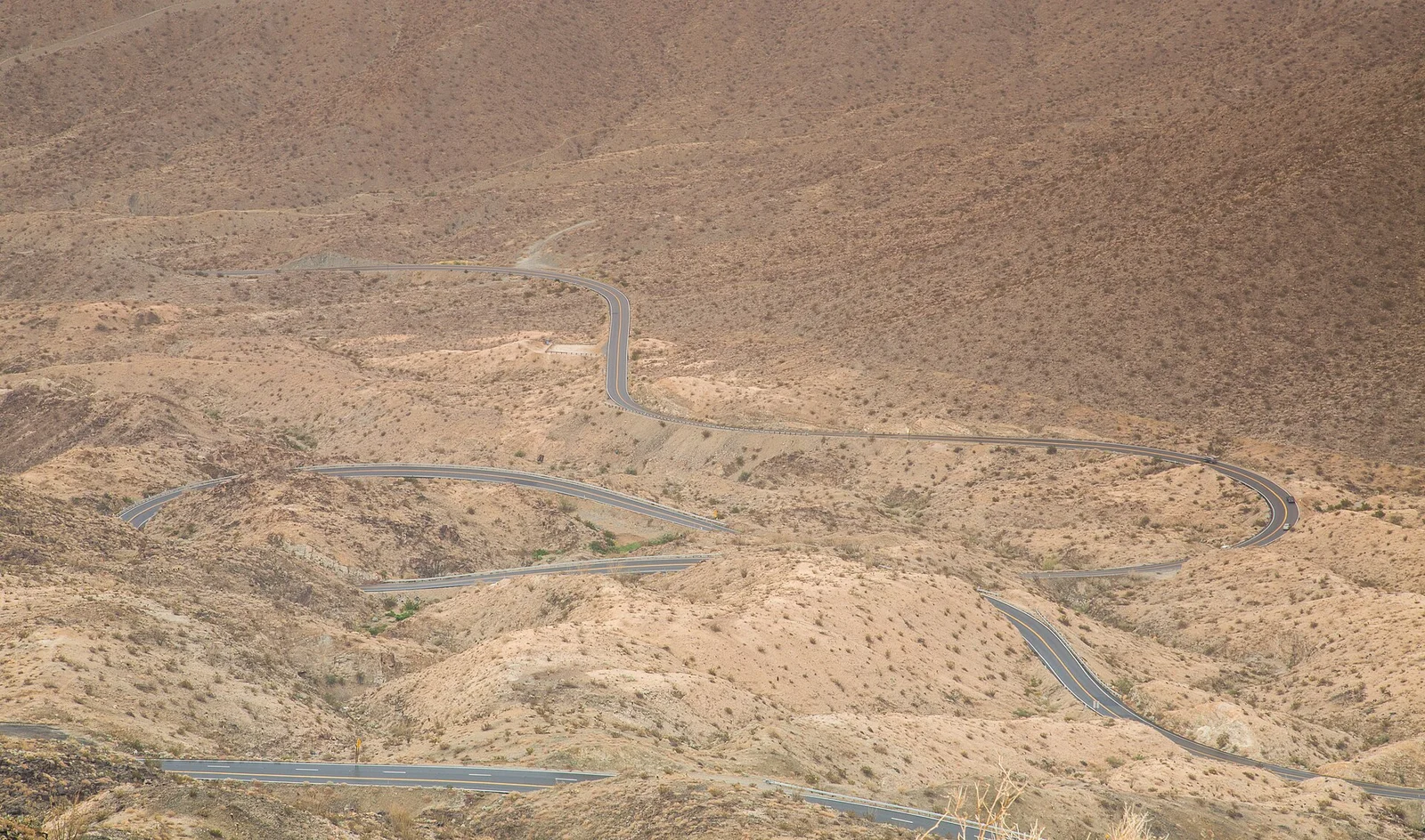
Highway 74 switchbacks as seen from the Coachella Valley Vista Point. Photo: Tony Webster / Wikimedia Commons, CC BY 2.0.
Pinyon Pines, Keen Camp Summit, and Paradise Valley
After the switchbacks the road levels out and rolls through Pinyon Pines and Ribbonwood. Keen Camp Summit, at 4,917 feet, is the high point on this stretch of Highway 74 according to Wikipedia's route description, and the air at that height runs noticeably cooler than the valley floor.
Highway 371 joins at Paradise Valley, home to the Paradise Valley Cafe, a regular stop for motorcyclists and families. Visit Greater Palm Springs notes that the stretch of Highway 74 between Palm Desert and Paradise has no services, and the BLM warns that cell coverage along the byway is spotty. Download your map before you leave the valley.
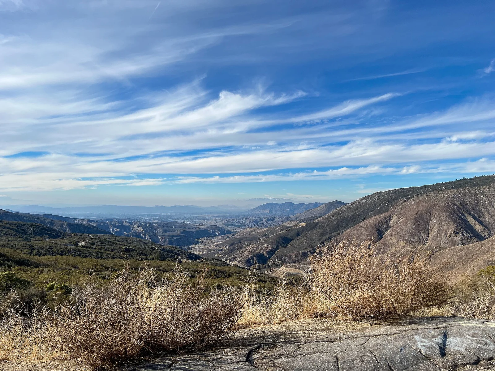
A Highway 74 turnout on the way to Idyllwild. Photo: Z3lvs / Wikimedia Commons, CC0.
Lake Hemet and Mountain Center
Lake Hemet is a small reservoir ringed by campgrounds, picnic areas, and RV parks, with fishing and boat rentals in season. Mountain Center, where Highway 243 meets Highway 74, has a gas station and a few shops. Turn north here for Idyllwild.
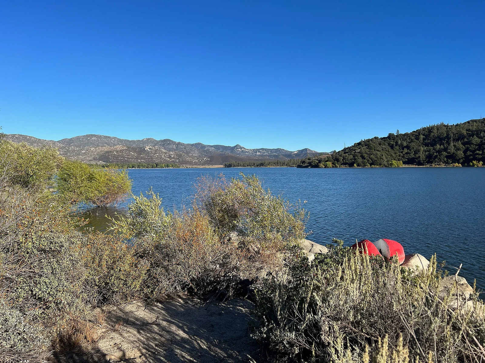
Lake Hemet in October 2023. Photo: Z3lvs / Wikimedia Commons, CC0.
Idyllwild, Pines, and Where to Stretch Your Legs
Idyllwild sits about a mile high, and that elevation is where the temperature drop comes from. It is also where you will find fuel, coffee, and restaurants before the descent. Our Idyllwild guide covers where to eat and which trails fit which legs, and if you want a different way up the same mountain, the Aerial Tramway guide covers the ride to 8,516 feet.
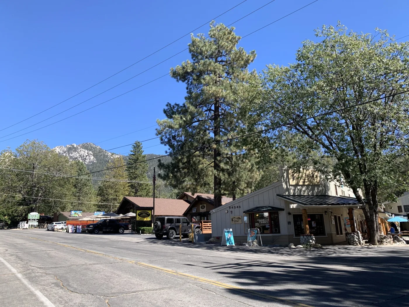
Idyllwild's village center, with a granite peak rising behind the pines.
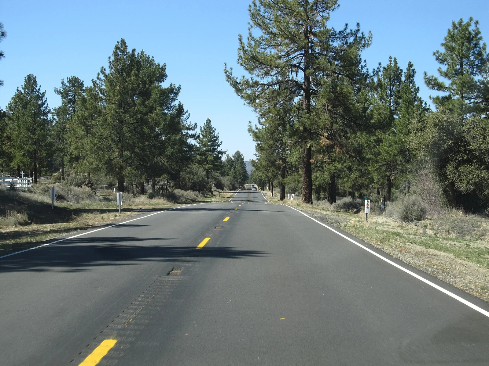
Highway 74 through pine country near Idyllwild. Photo: Ken Lund / Wikimedia Commons, CC BY-SA 2.0.
Staying in Indio? Terra Luz and The Cozy Cactus are both walking distance to the Empire Polo Club, and Highway 74 starts in Palm Desert, west of Indio on Highway 111. Based in Palm Springs? The Sundune gets you to the same road from the other side of the valley. Check availability →
The Descent: Indian Vista and Banning
North of Idyllwild, Highway 243 drops toward Banning in more switchbacks. Indian Vista Scenic Overlook, marked by a giant boulder, has a wide view south and plenty of parking. From Banning, I-10 east leads back toward Palm Springs and the rest of the valley.
Road work and closures change from season to season, so check Caltrans District 8 before you commit to the full loop. If Highway 243 looks messy, turn around at Idyllwild and take Highway 74 back down.
Highway 74 in Winter: Snow and Chain Controls
This is a mountain highway, and it behaves like one from late fall through early spring. When snow is forecast, Caltrans chain controls can go up on Highway 74 or Highway 243. The levels work like this:
- R1: chains required, except for passenger cars and light trucks under 6,000 pounds with snow tires on at least two drive wheels, who still have to carry chains.
- R2: chains or traction devices required, except for 4WD or AWD vehicles with snow-tread tires on all four wheels, who must still carry traction devices.
- R3: chains or traction devices on every vehicle with no exceptions, and the road is often closed before R3 is imposed.
CHP can cite you for ignoring a control, and the speed limit drops to 25 or 30 mph while chains are required. Check Caltrans QuickMap or call 800-427-7623, and look again before you head back down, since conditions change quickly.
Best Time for the Palms to Pines Drive, Fall Color Included
Black oaks are the main fall-color tree around Idyllwild, and local guides generally put peak color between late October and early November. California State Parks lists Mount San Jacinto State Park on its fall color page. By Thanksgiving week the best color can be fading, so check with the Idyllwild Chamber of Commerce or the San Jacinto Ranger District before building a trip around leaves.
One road-trip guide suggests dry, clear days at the edges of winter, in early spring, or in very late fall, with wildflowers as the spring bonus. Go on a weekday if you can, leave Palm Desert mid-morning, and finish in daylight, since the highway is mostly two lanes with sharp curves. For more to do on the valley floor the same weekend, see things to do in Palm Desert, or pair the drive with a desert hike from our Palm Springs hiking guide.
FAQ: Driving the Palms to Pines Scenic Byway
How long is the Palms to Pines Scenic Byway?
The USDA Forest Service describes it as a 67-mile route from Palm Desert to Banning Pass, following Highway 74 and Highway 243. Block out half a day or more if you want to use the vista points.
Is Highway 74 safe to drive in winter?
Usually, but it is a mountain highway with switchbacks, and snow can trigger chain controls. Check QuickMap before you leave and carry chains or traction devices from late fall through early spring.
Where do you get gas on the Palms to Pines drive?
Fill up in Palm Desert before you climb. The BLM lists gas at Palm Desert, Mountain Center, Idyllwild, and Banning, and there are no services on Highway 74 between Palm Desert and Paradise Valley.
When are the fall colors near Idyllwild?
Local guides point to late October through early November for black oak color. Check with the Idyllwild Chamber of Commerce or the San Jacinto Ranger District for current conditions, especially around Thanksgiving.
Can you drive the Palms to Pines byway from Indio or Palm Springs in one day?
Yes. Take Highway 111 to Palm Desert, climb Highway 74 to Mountain Center, turn onto Highway 243 for Idyllwild, then return the way you came or continue to Banning. Terra Luz, The Cozy Cactus, and The Sundune all work as a base.